
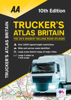
Truckers Atlas Britain
No Customer Reviews

Perfect for professional drivers to easily use while on the road and when planning routes, this large format A3 road atlas has a clear 3 miles to 1 inch scale. Fully updated for 2020, the atlas includes truck and freight ferry routes and port plans, route planner map, quick reference distance chart, and an explanatory list of restricted motorway junctions. Additionally there is a 12-page section of London street mapping with height, width, and weight restrictions clearly marked, as well as large scale district maps of London, Birmingham, Glasgow, Manchester, and Tyne & Wear. Information of particular importance to truck drivers is emphasized on the mapping which includes over 3,600 bridge heights, with the most frequently struck rail bridges highlighted. Roads less than 4 meters wide are distinguished, as well as road tunnels, toll roads, service areas, steep gradients, level crossings and low emission zones. A special feature, in conjunction with Network Rail's campaign, provides useful information on prevention of bridge strikes--an essential read for all truck drivers and other professionals in the haulage industry.
Format:Spiral-bound
Language:English
ISBN:0749581999
ISBN13:9780749581992
Release Date:February 2020
Publisher:AA Publishing
Length:144 Pages
Weight:1.85 lbs.
Dimensions:0.7" x 11.0" x 15.6"
Related Subjects
TravelCustomer Reviews
0 rating
Copyright © 2025 Thriftbooks.com
Terms of Use | Privacy Policy | Do Not Sell/Share My Personal Information | Cookie Policy | Cookie Preferences | Accessibility Statement
ThriftBooks ® and the ThriftBooks ® logo are registered trademarks of Thrift Books Global, LLC
ThriftBooks ® and the ThriftBooks ® logo are registered trademarks of Thrift Books Global, LLC
