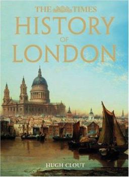
History of London
Select Format
Select Condition 
Book Overview
This new edition brings the story of London right up to date. 'The Times History of London' is a visual and narrative feast for anyone - visitor and Londoner alike - with an interest in this great and... This description may be from another edition of this product.
Format:Hardcover
Language:English
ISBN:000726643X
ISBN13:9780007266432
Release Date:January 2008
Publisher:Times Books(NY)
Length:192 Pages
Weight:2.80 lbs.
Dimensions:0.8" x 9.3" x 12.3"
Related Subjects
HistoryCustomer Reviews
1 rating
Terrific time-sink
Published by Thriftbooks.com User , 19 years ago
While its nearly 200 pages are crammed with maps, this volume is considerably more than "just" an atlas. After several pages on surface land forms and geology, we go straight to Roman London, how and why the town was established where it was, and the location of the first bridge across the Thames. The six gates in the Roman wall are located and the commercial quarter is depicted in detail, as is the fort at Cripplegate. Then we move forward through Saxon and Norman London, the medieval, Tudor, and Stuart period, and so on, up to the aftermath of World War II. Subsequent maps and their accompanying text discuss industrialization and suburbanization, the construction of major new motorways connecting the city to the rest of the country, and plans for the future (as they were more than a decade ago). There are any number of fascinating birds-eye reconstruction of London at various early periods, before the first surviving representations of the town. There are also extensive pictorial discussions of building materials, parks and gardens, the underground, "agricultural London" (not a theme even most modern Londoners, probably, would consider), the effect of immigration, royal London, and more. Finally, there's a series of overviews of each section of London with detailed maps, drawings, and photos, and an etymological dictionary of London place-names. This is a marvelous book for browsing as well as a useful reference work.


