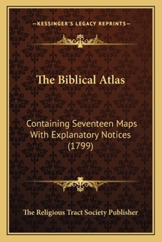
The Biblical Atlas: Containing Seventeen Maps With Explanatory Notices (1799)
Select Format
Select Condition 
Book Overview
The Biblical Atlas: Containing Seventeen Maps With Explanatory Notices (1799) is a book published by The Religious Tract Society Publisher. The book is a collection of seventeen maps that detail the geography of the Holy Land as described in the Bible. Each map is accompanied by explanatory notes that provide historical and geographical context to the reader. The maps cover a range of topics, from the journeys of the Israelites in the Old Testament to the travels of the apostles in the New Testament. The book is designed to aid readers in their understanding of the Bible by providing a visual representation of the places and events described in the text. The maps are intricately detailed and include important landmarks such as cities, mountains, and rivers. The book is an excellent resource for scholars, students, and anyone interested in the geography of the Holy Land.This scarce antiquarian book is a facsimile reprint of the old original and may contain some imperfections such as library marks and notations. Because we believe this work is culturally important, we have made it available as part of our commitment for protecting, preserving, and promoting the world's literature in affordable, high quality, modern editions, that are true to their original work.
Format:Paperback
Language:English
ISBN:1166149943
ISBN13:9781166149949
Release Date:September 2010
Publisher:Kessinger Publishing
Length:70 Pages
Weight:0.23 lbs.
Dimensions:0.1" x 6.0" x 9.0"
Related Subjects
History Literary Literary Criticism & Collections Literature Literature & Fiction ReferenceCustomer Reviews
0 rating


