
Historical Sea Charts: Visions and Voyages Through the Ages
No Customer Reviews

Select Format
Select Condition 
Book Overview
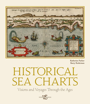
This book shows the history of charts and nautical maps from the earliest known examples to the ones used in the Twentieth Century, with a special focus on the map makers and the methods of use from 1300 to 1900. As with many historical objects, nautical charts are admired today for their charm and aesthetic appeal. The maps in Historical Sea Charts are part of the collection owned by Barry Lawrence Ruderman Antique Maps Inc., the world's leading institution for nautical maps. The reader can find in this book the most indicative of trends and ideas through time. For each example in the volume, the reader will find out how the maps were designed and created, as well as how they were used during navigation or in preparation of a journey.
Format:Hardcover
Language:English
ISBN:8854417165
ISBN13:9788854417168
Release Date:June 2021
Publisher:White Star Publishers
Length:208 Pages
Weight:3.90 lbs.
Dimensions:1.0" x 10.8" x 12.4"
Customer Reviews
0 rating
Copyright © 2025 Thriftbooks.com
Terms of Use | Privacy Policy | Do Not Sell/Share My Personal Information | Cookie Policy | Cookie Preferences | Accessibility Statement
ThriftBooks ® and the ThriftBooks ® logo are registered trademarks of Thrift Books Global, LLC
ThriftBooks ® and the ThriftBooks ® logo are registered trademarks of Thrift Books Global, LLC
