
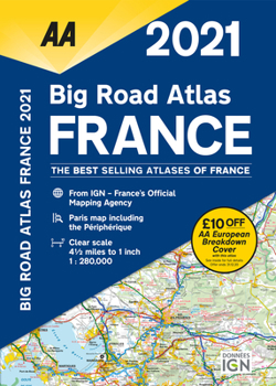
Big Road Atlas France 2021
No Customer Reviews

Fully revised and updated for 2021, this specialist A3 road atlas includes 21 city/town plans. There is also a channel hopping guide including channel tunnel terminal plans and ferry information. Coverage includes road mapping for Corsica and a central city and regional plan of Paris, plus the atlas legend is in English, French, Spanish, Italian, German and Dutch. Provides clear scale mapping, at 4.5 miles to 1 inch. Paris map including the Pe riphe rique. Over 18,500 tourist sites shown on the mapping. French place names used to match local road signs.
Format:Paperback
Language:English
ISBN:0749582251
ISBN13:9780749582258
Release Date:December 2020
Publisher:AA Publishing
Length:112 Pages
Related Subjects
TravelCustomer Reviews
0 rating
Copyright © 2025 Thriftbooks.com
Terms of Use | Privacy Policy | Do Not Sell/Share My Personal Information | Cookie Policy | Cookie Preferences | Accessibility Statement
ThriftBooks ® and the ThriftBooks ® logo are registered trademarks of Thrift Books Global, LLC
ThriftBooks ® and the ThriftBooks ® logo are registered trademarks of Thrift Books Global, LLC
