
Big Easy Read Britain 2020
No Customer Reviews

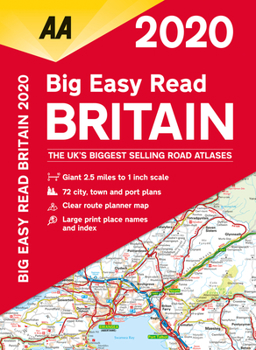
This A3 format atlas provides giant scale mapping and type throughout. Each page has been titled with its geographical location so you can turn to the page you need more easily. Wide minor roads, National Trust, English and World Heritage sites, crematorium locations and other hard-to-find places are indicated on the mapping. There are 72 city, town and port plans including a central district map of London and a full-color admin map showing all the latest unitary authority areas. Plus, scenic routes and tourist sites with satnav friendly post codes. 2.5 miles to 1 inch 1:160,000 - 1.6km to 1cm.
Format:Paperback
Language:English
ISBN:0749581263
ISBN13:9780749581268
Release Date:September 2019
Publisher:AA Publishing
Length:208 Pages
Weight:2.24 lbs.
Dimensions:0.3" x 11.1" x 15.2"
Customer Reviews
0 rating
Copyright © 2025 Thriftbooks.com
Terms of Use | Privacy Policy | Do Not Sell/Share My Personal Information | Cookie Policy | Cookie Preferences | Accessibility Statement
ThriftBooks ® and the ThriftBooks ® logo are registered trademarks of Thrift Books Global, LLC
ThriftBooks ® and the ThriftBooks ® logo are registered trademarks of Thrift Books Global, LLC
