
AA Drivers Atlas Britain Flexibound
No Customer Reviews

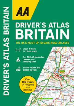
A handy, flexibound glovebox sized road atlas combining clear large scale mapping (4 miles to 1 inch) in an easy-to-carry A5 format. Each page has been titled with its geographical location so that you can turn to the page you need more easily. There is also a full-colour, admin map showing all the latest unitary authority areas, easy-to-use mileage chart and clear easy-to-read index with more than 23,000 place names including airports, top tourist sites and motorway services listed. Wide minor roads (more than and less than 4m wide), National Trust, English and World Heritage sites, crematorium locations and other hard-to-find places are also shown. The top 300 AA-inspected caravan and camping sites and over 240 service areas plotted on the maps.
Format:Paperback
Language:English
ISBN:0749583355
ISBN13:9780749583354
Release Date:September 2023
Publisher:AA Publishing
Length:328 Pages
Related Subjects
TravelCustomer Reviews
0 rating
Copyright © 2025 Thriftbooks.com
Terms of Use | Privacy Policy | Do Not Sell/Share My Personal Information | Cookie Policy | Cookie Preferences | Accessibility Statement
ThriftBooks ® and the ThriftBooks ® logo are registered trademarks of Thrift Books Global, LLC
ThriftBooks ® and the ThriftBooks ® logo are registered trademarks of Thrift Books Global, LLC
