
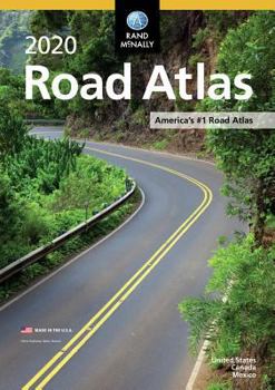
Rand McNally 2020 Road Atlas

The Rand McNally Road Atlas is the most trusted and best-selling atlas on the market. This updated 2020 edition contains maps of every U.S. state and Canadian province, an overview map of Mexico, and detailed inset maps of over 350 cities and 25 national parks. Road construction and conditions contact information for every state conveniently located above the maps. Contains mileage chart showing distances between 90 North American cities and national parks along with a driving times map.
Other Features
Rand McNally presents six of our favorite national parks"€"big and small, east and west"€"that showcase this country's astonishing beauty, highlight essential visitor information, and offer insightful travel tips.
Tell Rand As much as we work to keep our atlases up to date, conditions change quickly and new construction projects begin frequently. If you know of something we haven't captured in our atlas, let us know at randmcnally.com/tellrand.
Tourism websites and phone numbers for every U.S. state and Canadian province on map pages
Product Details
ISBN: 0528020994
EAN: 9780528020995
UPC: 070609020990
SRP: $14.95
Paperback
144 pages
Dimensions: 10.875" x 15.375"
Related Subjects
ReferenceCustomer Reviews
ThriftBooks ® and the ThriftBooks ® logo are registered trademarks of Thrift Books Global, LLC
